On August 20, 2015, the initial “strategy” meeting of the CHGIS partnership took place, in the Department of Geography and Planning at the University of Toronto. This is the first time that we all met face to face so it was a chance to hammer out some of the issues that go along with turning a “proposal”, into a reality. Once again, as in writing the proposal,
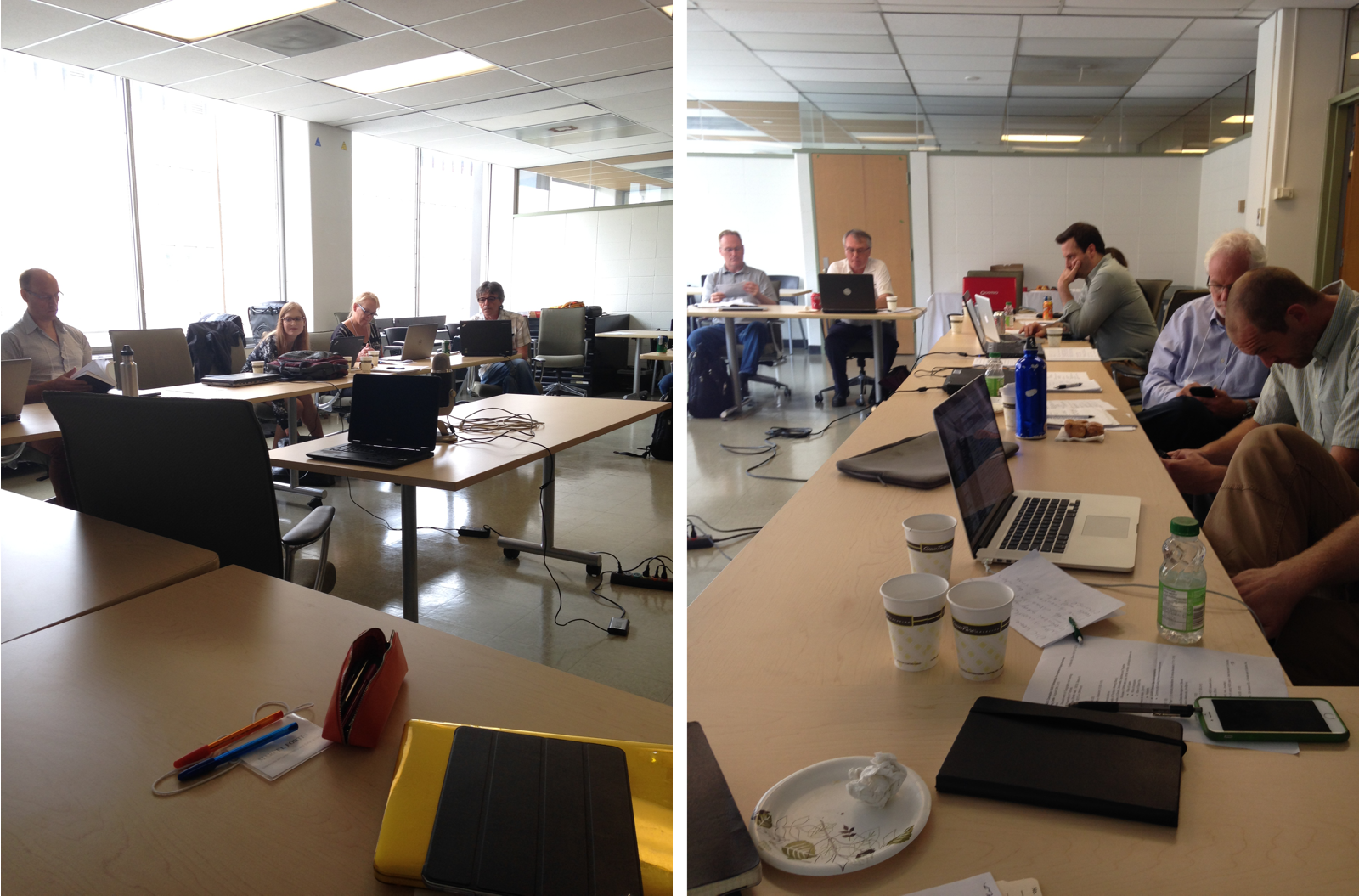
we had to deal with the different conceptions of “Historical GIS” as understood by historians, geographers, community history groups, librarians and archivists, and GIS companies. However, that is what this project is all about, so it was a good place to pick up the conversation. For those of you with an interest in the details, the meeting minutes are posted here. For others, you may have been in meetings like this one – questions like this abounded:
What puts the “Historical” in Historical GIS?
Create or recommend: Do we really need another portal/visualization site?
Terminology: Mapping or geo-visualization?
Open Source and Access: How open is open?
When and how to allow user-contributed content?
How much meta-data is necessary for it to be called meta-data?
As a group, we are wrestling with these questions in order to help provide the kinds of research and tools that people mapping and modelling historical subjects really want, and can use. Despite a lot of questions and few solutions so far, the process has started. You are invited to join the conversation by adding your name to the “Friends of the CHGIS Partnership” mailing list. Email me at byron@geog.utoronto.ca.
Byron Moldofsky, Project Manager
This post is also available in: French